
At The Ives Architecture Studio, we combine decades of experience in large-scale site planning and architectural design with the most advanced visualization tools available today.
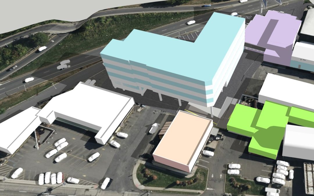
One of our most effective methods involves creating detailed 3D models superimposed on Google Earth aerial photography. This process allows our clients to instantly grasp the scale, context, and possibilities of complex sites – making early-phase decisions faster, clearer, and more confident.
While we fully embrace the advantages of modern technology, we also understand its limitations. We don’t rely blindly on artificial intelligence or generic software outputs. Our approach is guided by a deep understanding of planning principles, economic reality, architectural history, zoning constraints, and construction feasibility. The result: designs that are not only visually compelling, but also grounded in what can actually be built.
At a time when digital tools are becoming more accessible to everyone, what sets us apart is how we use them—with the insight of seasoned professionals who know what works. This marriage of technology and experience ensures that our clients don’t just get flashy renderings, but real-world solutions.
Give The Ives Architecture Studio a call if you have a large complex site and can’t figure out what to do next.
